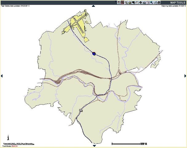
 Roanoke City is taking GIS to a whole new level with the launch of its new GIS Website on July 1. For many years, the site has been well known for its highly useful and informative features, and widely used by city staff, citizens, and businesses for real estate data, permits, engineering maps, and plans and property cards, as well as layers like zoning, school zones, trash collection, and many others.
The Department of Technology has replaced the old site in order to move forward with newer technology to allow the GIS website to provide the user with even more options.
The look and feel of the new site is different, but was developed with the goal that whatever the old site does the new site will do better. The new site combines all of the GIS data and search capabilities from the old GIS, SuperMap and the Community and Incentives Portals. As a result, it is now a one-stop source of information across a wide range of city services and programs.
The new site was made available to city staff on June 1, and training has been provided to key staff during June in order to better assist external users once the new site is launched for the public. In order to ease users into the transition, the old site will still be available for a short time.

